This morning, I went for a walk in my neighborhood. Eventually, I arrived at a park area right around the corner I have never been before, which kind of seems weird, as I grew up in this city, live in this apartment for three years now, and go for walks daily.
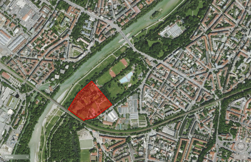
It always fascinates me, how I still discover new things, even though I have lived here for so long and I wonder what else I might have missed. It always seems like I know this city inside-out but today had proven otherwise again.
Concept
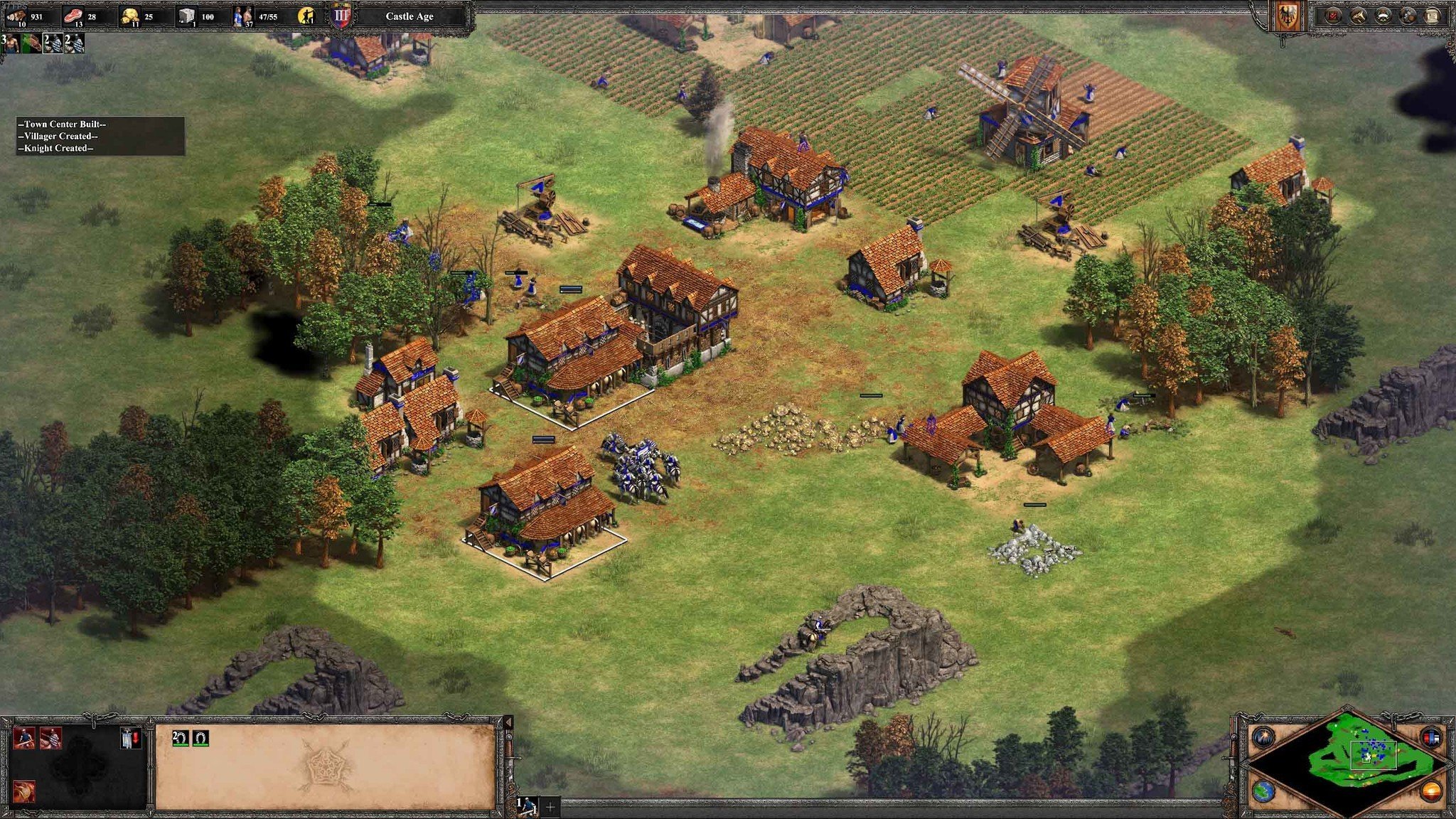
I often have to think about the gaming map from real time strategy games like Age of Empires. One can only see the areas on the maps one has already visited. I would love to have a similar map for my life. A map that only shows the areas I have been indicating where I have not been yet. Maybe also with areas disappearing again that I have not been for a while.
We often have in mind places we visited in a large scale. We know the countries we have visited, maybe the cities, but often we forget the very local areas. So when is the best time to discover your neighborhood if not now?
Process
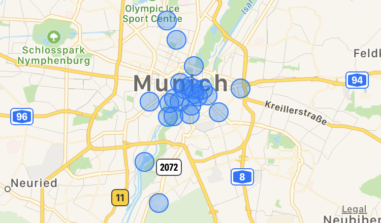
Since Google Maps and my iPhone are anyway tracking my location, I figured I could use this data for my prototype. However, I have disabled tracking for Google Maps and the data from my iPhone is fairly broad and I would need very granular data to fulfill my concept, as it seems to me more important to know which streets I have been to.
This whole data collection raises in me the question, what would be an ethical way of generating this map concept without relying on 3rd parties that would have access to it to take advantage of it? Would that be a tracking service that guarantees privacy? Would that be a manual process one would have to do after every walk, reconstructing the routes one did walk?
For now, I think the best prototype to test the concept is to simply print a map of my neighborhood and mark the streets I have been to with a pen, making it as local as possible without having tech giants accessing my data.
Printing out the first screenshot, I realized that especially the area I have been discovering today is not visible on the printout. On Snazzymaps — a website that allows styling — I found a black and white style but without labels, but that is hard to navigate so I decided for a black and white version with labels to start of my prototype of the streets I have been to recently (out of my memory).
Prototype
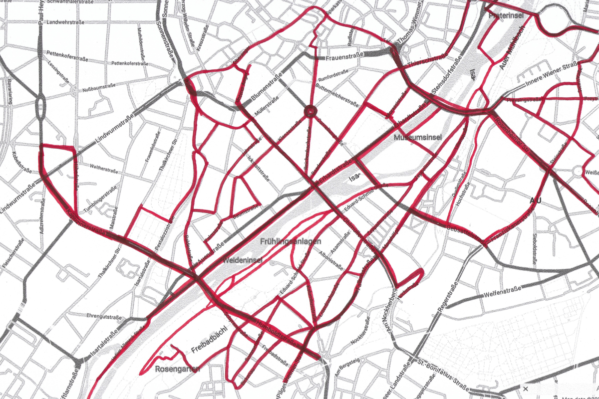
This is the map prototype. Of course, it is just a rough sketch, but even this simple prototype displays the potential of all the places I still have to discover (as a disclaimer, I just marked the streets I have been to recently, within the last one or two weeks). Now I can use this map as prompts where to go next time and updating the map accordingly.
The next step would be to automate this process, lay it upon to a digital map and maybe even set “where I want to go” pins in Google Maps, prompting myself to discover new areas.
Reflection
Finding a process that includes the intention without relying on generated data is hard but necessary. I first thought about a more programmatic way (of course…) to create the map, but this would have meant either to create a database to save the paths to not need to create them to draw over and over again. This would on one hand take a lot of time to create, on the other hand again would save this data in a fairly public spot. A paper prototype in this sense seemed to be the best and quickest way to test the concept.